LocalBoundaries
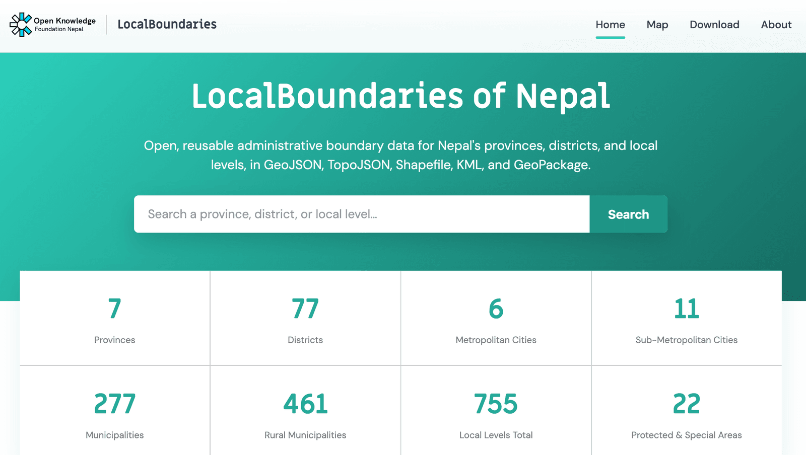
Since Nepal's 2015 constitution restructured the country into a federal republic of provinces and local levels, keeping accurate, accessible boundary data has been a real challenge for researchers, developers and government alike. LocalBoundaries solves this by publishing detailed geodata for every administrative unit, including provinces, districts, metropolitan and sub-metropolitan cities, municipalities, rural municipalities, and protected and special areas, in five open, GIS ready formats.
Users can browse by administrative level, view boundaries interactively on a map before downloading, or pull data directly by province. The dataset is built to drop straight into QGIS, ArcGIS, OpenStreetMap, Google Maps, Leaflet or Mapbox, supporting everything from academic research to local government planning and dashboards.